Tuesday, July 31, 2012

News in Japan - July

GEJET
Fukushima Watch: Lawmakers Rank the Safety of Japan’s 50 Reactors
Japan's atomic disaster due to "collusion:" panel report
Quake left 20-meter crack in Fuji
Radioactive strontium detected in 10 prefectures

Japan
A Lost Deal for South Korea and Japan
Govt looks to buy Senkakus / Noda says talks with islands' owner have already begun In 1971, the Taiwanese and Chinese governments officially began to declare ownership of the islands after the U.N. issued a report about possible gas and oil reserves in the Senkaku area. 
Japanese town selling land for pocket change
Netherlands


Wednesday, July 18, 2012

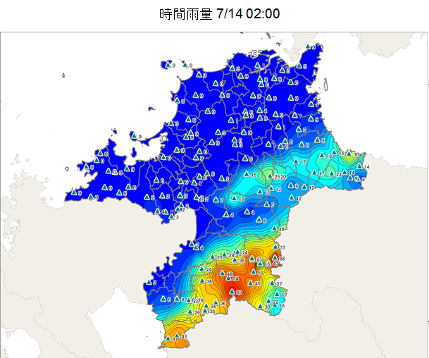
Kyuushuu's heavy rains

These pictures map the progress of the storms that hit Kyuushuu last week, where 250,000 people evacuated their homes due to heavy storms and the associated impending floods and landslides. And people say the Netherlands is experiencing too much rain...

Japan's low-profile military steps up during flood rescue (+video)


Kyuushuu is currently expecting a typhoon to rush by.

The Royal Dutch Meteorological Institute (KNMI) reports the following about the rain in the month June this year: 
June was a wet month, with 94 mm precipitation on average over the whole country, in contrast to a long term average of 68 mm. The regional differences in precipitation amounts were very large this month. In the south several places experienced over 100 mm of rain, the highest value being 123 mm. The center and north of the country many places experienced less than 75 mm. Due to the precarious nature of the weather every day had some precipitation. Nationally, 3, 4, 18, 21 and 24 June were very wet days with 10 mm or more precipitation. 

On the 7th of June a whirlwind caused damage in Montfoort, and on the 21st of June a thunderstorm caused local water damage and wind gusts; and lightning caused power failure.


Wednesday, July 4, 2012

Discovery's Building the Future

Discovery Channel had a series, Building the Future, also touching on the South-North Water Diversion Project in China, and the Edogawa Project in Japan. More information here.


South-North Water Diversion Project (Beijing, China) (#1)
Beijing, with a population that has swelled to nearly 15 million people, is struggling with an increasingly dire water shortage worsened by 30 years of drought. The Chinese government's answer is the largest water diversion undertaking ever. First envisioned by Mao Zedong in the early 1950s but not begun until 2002, the project will transport 300 million gallons of water each day from the Yangtze River in southern China to the parched, populous north via three concrete rivers, each nearly 1,000 miles long. (The most difficult part of the project will be the western route, which will require construction on the Qinghai-Tibet Plateau, at 10,000 to 16,000 feet above sea level.) Plans call for the project to be completed by 2050 at a cost of $62 billion. But whether it will be enough to alleviate China's water woes is a difficult question. Experts say that even with the extra water, the Chinese capital will have to dramatically reduce average household water consumption just to keep up with population growth. Another problem: pollution from China's rapidly growing industrial sector threatens to make the diverted water unfit to drink.
Edogawa River Project (Tokyo, Japan) (#2)
With Tokyo in the path of as many as two dozen typhoons each year, the city and its 12 million inhabitants are continually endangered by flooding. The answer: one of the most massive pumping systems ever constructed. Begun in 1992, with completion scheduled for 2009, the $2 billion system includes a four-mile-long network of tunnels connected to an 83-foot-tall storage tank and a cathedral-like structure of 59 massive pillars. The system's powerful turbines can pump 200 tons of water into the Edogawa River each second. The system has become a Tokyo tourist attraction, and it also has been used by television and movie crews as an eerily dramatic backdrop.

Monday, June 4, 2012

Field Trip to Kokai river drills

Last month while mount Tsukuba reflected in the watered rice paddies, we ventured to a private flood fighting drill at Kokai river's Asahigaoka town.

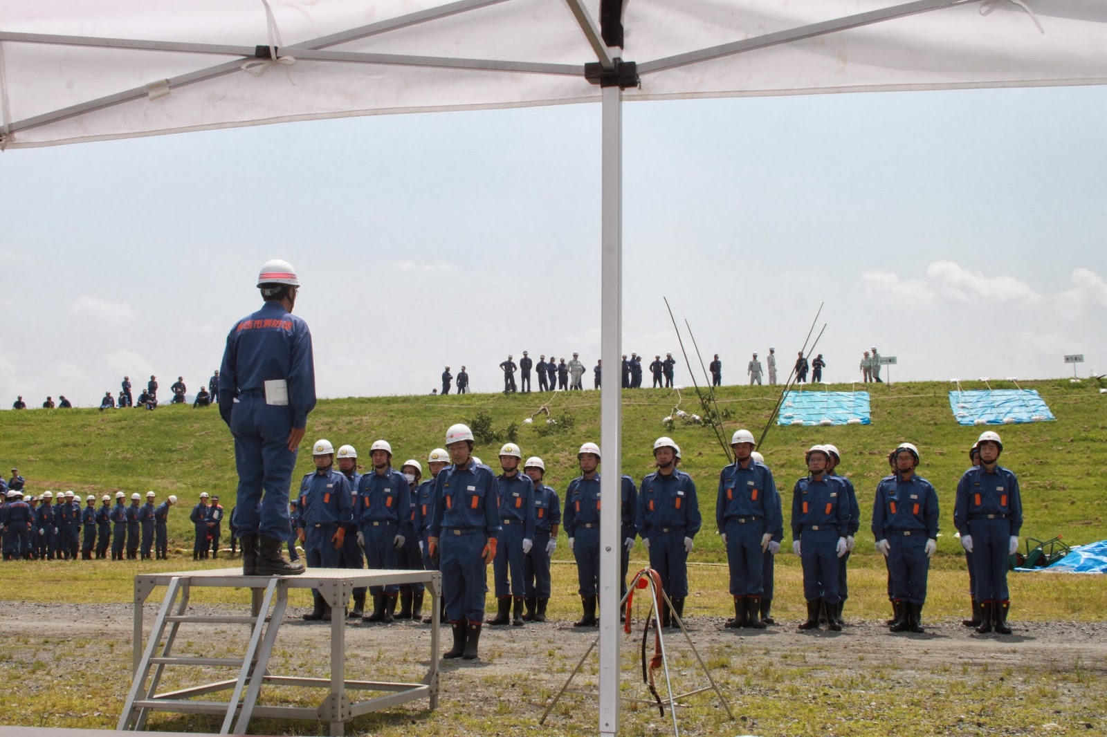
Asahigaoka was a rural area in great danger of flooding. As an example to other areas, all the residents were united in the plan to relocate the houses and industries to a concentrated elevated area, and redistribute the remaining land as low lying farm land. Two notable exceptions were a large industrial factory, and a cemetery, both still in the same location albeit on elevated land. The farm land doubles as a retarding basin, and one of the levees at the East side doubles as an overflow levee during high water. Today it was not flooded with water, but rather with firetrucks, as all the local flood fighting teams (suibo), which often double as fire fighters, came to practice their mandatory drills with much enthusiasm and military preciseness.


Much like the Tone river drill, though on a somewhat smaller scale and without helicopters saving people from rafts in the river, the individual groups reported their presences and eagerness to fight the simulated floods. The different types of simulated floods, overtopping, seepage and levee breach, as well as the methods to counteract them (many using bamboo), were much the same as during the Tone river drill. This time however, we got to stand right in the action zone and even got to lift a 20 kg sandbag. Most important was how to practice the knots tied to trees to slow down water.


We conducted interviews with several members of the flood fighting teams. As soon as the final drills were reported complete, everyone packed up and within 5 minutes the fields were clear as if there had never been anyone there. The seriousness and collaboration of the whole morning was very impressive, as many of these people are volunteers.


Sunday, June 3, 2012

Trip to Katori

Today we visited Katori city in Chiba prefecture, and some public water works on the way. 

The day started out rather drizzly, but the weir near Kasumigaura was fascinating nonetheless. We could smell the salt ocean winds blowing across the water, as we were only 5 km from the coast. At one of the 8 prefectural history museums, all the different types of concrete seawall or river levee blocks were displayed. Which shape is your favorite? They each have their own pros and cons: cost of material and difficulty to make, effectiveness of shape in relation to displacement, and fitting together with other shapes, be it similar or not. 


Once inside, it was allowed to take some pictures, except in the most interesting room displaying how rice agriculture was practiced in the last 100 years. There were flat bottomed transportation boats, manual wooden pumping mechanisms, and pictures of children left in floating tubs while the people worked in the fields. It even featured a graph of the necessary water levels in the paddies during rice growth. There was a map displaying historic floods in the Tone river area.


Across the road of the museum is a famous iris garden, where we were just in time to catch a wedding. The bride was floating through the water, surrounded by flowers and random onlookers, wearing a beautiful kimono. The park also features one of the wooden water mills used to irrigate the paddy fields. 
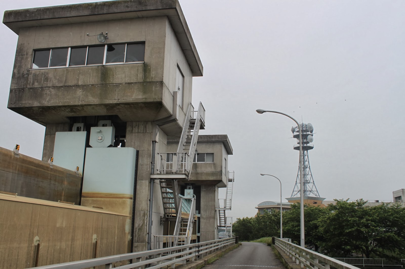
On the way to Sawara, the part of Katori city we were interested in visiting, we stumbled upon another lock gate. Influence from English engineers at the time are still clearly visible.


Sawara town has a lovely canal area with Edo period buildings, and a museum dedicated to one of the first cartographers of Japan, Ino Tadataka. After finishing his career, he started to travel around Japan and measure the coastline precisely using state of the art techniques of that time (around 1800). It took various expeditions to cover entire Japan, and his maps were remarkably accurate and also included an island that is now part of Russia. The very maps he created during his travels are displayed in the museum. Given the displacement following major earthquakes both in the horizontal and vertical direction (the last Tohoku disaster caused 1.2 meter downward and over 5 meter Westward displacement), it would be more fair to compare his maps to the geographical situation at the time, but of course his maps were the most accurate work of that time. The local shops have an incredible amount of crafts, as well as the visitor information center which is located in a former bank.