After staying the night in Matsue city, we
visited the Ohashi river community center, the construction site of the Hii river diversion channel, and the Obara Dam.
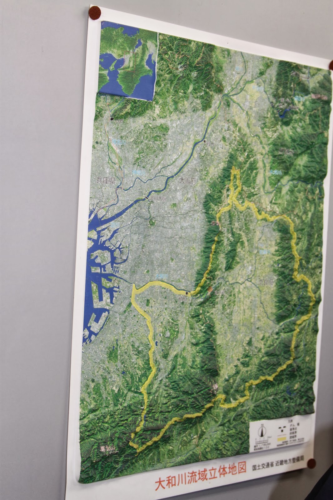
We strolled along the river connecting Shinji lake and Nakaumi lake. Matsue city lies on both sides of the river, making it prone to floods. It has been decided that the river should be widened, and people close to the river front have to move elsewhere. The Western Shinji lake is slightly salty, about one tenth of the ocean, and the Eastern Nakaumi lake about one third. Signs and stickers along the riverfront warn about how high previous floods were. There are several measuring stations and data collection houses scattered along the way.
In the river community center a model showed us the three different measures taken after the prefecture governor decided in 1972 that the floods must be reduced. Only just now the measures are being completed. Aside from the national policy to protect certain species, a yearly study is conducted to inventory the riverside insects and monitor their presence.
Driving on the highway to the diversion channel, we could see many sabo works preventing landslides and crazy high connecting streets. 'High' way is taken too literally. The 13 km long diversion channel is nearly finished and will transport excess water from the Hii river to the Kando river, more to the West. During this final construction phase the main dam is created.
At the Obara dam we learned it became operational only two weeks ago with a successful stress test of the strength of the concrete. The orange buoys are to prevent trees and other debris swept along the rivers from hitting the dam. The MLIT officer was very proud that current day computers were so small, as they would have been bigger than himself 15 years ago. Even so, should the computer operating system fail, there is still a mechanical safety system in place that can be operated with keys, conveniently placed below the switches. The snow on the slopes hinted at what was still to come.
We rode by bus over the Honshu island from North to South, following the track of the Hii river by highway 54. As the altitude increased, naturally the river became smaller and we saw more and more snow. Halfway in the mountains, we arrived at a Kando river lake. At Miyoshi we switched to the JCT tollway again all the way to Hiroshima. The JICA building itself was in Higashi Hiroshima however, and in the middle of nowhere.
Rather than partying it out again, we decided to stay in and connect to our friends online. At this time, just before 21:00 in the evening, most of us heard of the big
earthquake in Sanriku oki, of 6.8 and shindou 4. Not soon after, the next big one struck home. An
earthquake of 6.1 at Chiba ken Toho-oki, with shindou 5+! Apparently it was a little scary, but nothing fell out of the cupboards. One thing was proven once more: magnitude means nothing, it's the local shindou that affects the earthquake experience the most. Given the experiences of the students on a field trip last year, I was worried to get home alright if the earthquakes kept increasing. 30 aftershocks later, it seemed to be decreasing.