


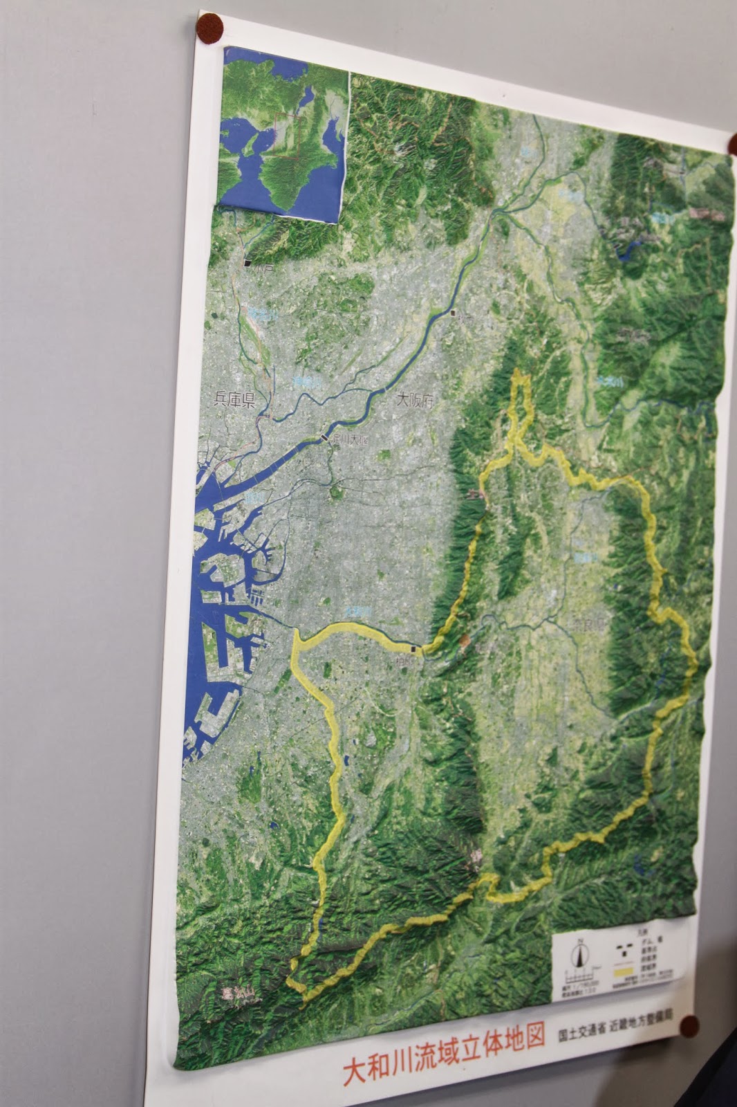
Our final stop was East of Osaka, at the Kamenose landslide area. Since the 1950s, pillars worth 40 million euro each have been put into the mountain. The top sand layer of the mountain has been removed, and an intricate network of tunnels and filters has been installed, all in order to prevent landslides. The Yamato river, whose basin originates in the Nara area, has only one way to flow to the ocean. This is at the Kamenose landslide area, where two mountain ranges are briefly intersected by this river. Should a landslide occur, then the single most transportation route for humans and the river would be cut off as a natural dam would be created, and the Nara area would become a lake. Aside from the information hall, we also got to walk inside one of the tunnels themselves. Strangely enough, after these tunnels are constructed, there is no further removal of soil. Supposedly the inflow is stopped by filters. Afterwards we traveled back by shinkansen once more.


No comments:
Post a Comment