Last Friday we had a four stop field trip all the way down to Yokohama.
During the lecture we learned that the current safety levels of the Tsurumi River are being revised by the national government to take the speculated effects of climate change into account. It is one of the 17 rivers that are completely under the governance of the governments MLIT, so there is no prefectural coordination needed (Tsurumi River starts in the Tokyo Metropolitan prefecture before having most of its basin in Kanagawa). There are some control issues. Both the river division and the sewer division are responsible for creating more water storage, but since communication is difficult between these two organizations, it is unknown how much water the measures of the sewer division are storing exactly.
Did you know the Tsurumi River basin is conveniently ‘tapir-shaped’? The tapir is thus the mascot, and gets dressed up for holidays. As usual for river information centers, there were crabs and fish to see and touch, a marble basin where you could drop blue marbles representing water drops (which had some trouble travelling downstream), and a huge floor map where locals can find their house. Araki-san, our faithful translator, helped with all the explanations, such as the story of the tsunami from March 11 going up the river.


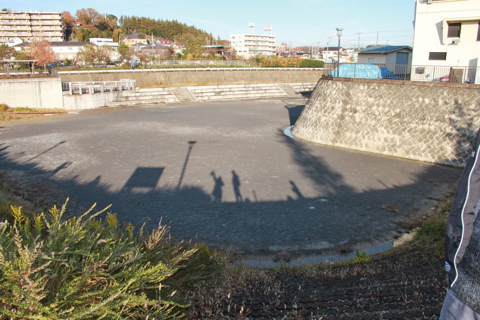
Our second stop was at the Kirigaoka Regulating Pond. Currently in use as tennis court, this reservoir has two inlets and one major outlet with a dam. I noticed I have now been to practically all places that I saw in a presentation three years ago, when Koichi Fujita visited our university in the Netherlands. Maybe the final stop will be at the Yodo river in Osaka?


Next was the Onmawashi Park Underground Tunnel-type Reservoir, an underground tunnel with a dead end. Water enters and exits at the same location, albeit with some height difference. Only the above ground area is accessible, but this has an interesting information building with models and a video. The inlet can be seen as well.


Finally we came to Professor Takahashi’s house where we saw a rainwater storage and infiltration system. Four cubic meters of rainwater can be stored and used to flush the toilet or do laundry. This saves some money on water. It also costs a bit of money to pay for the electricity to use the water pumps, but this amount is smaller, so in the end some money is still saved.

No comments:
Post a Comment